THE LAND
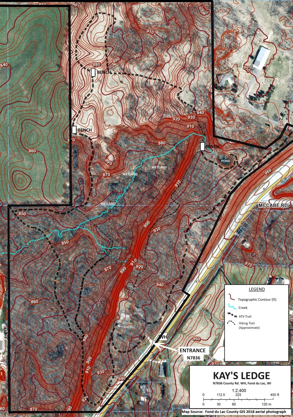
The property is a private nature preserve located in Fond du Lac, WI on the Niagara Escarpment.
Approximately 1,900 ft of the Niagara Escarpment extends through the property resulting in a diverse mix of habitat for a variety of species.
There are approximately 50 acres of forest, 10 acres of field, a dug pond, and nearly 2 acres of high-quality wetlands associated with groundwater seeps and spring fed creeks.
Like most of the forest in Fond du Lac, County, the property was cleared in the 1800s and then grazed with some areas used for agriculture.
The northern one-third was mined for sand and gravel. The result is a patchwork of forest type and conditions with great potential for improvement.
The Ledge
The Niagara Escarpment extends from the southwest to the northeast through the southern two thirds (approximately 40 acres) of the property.
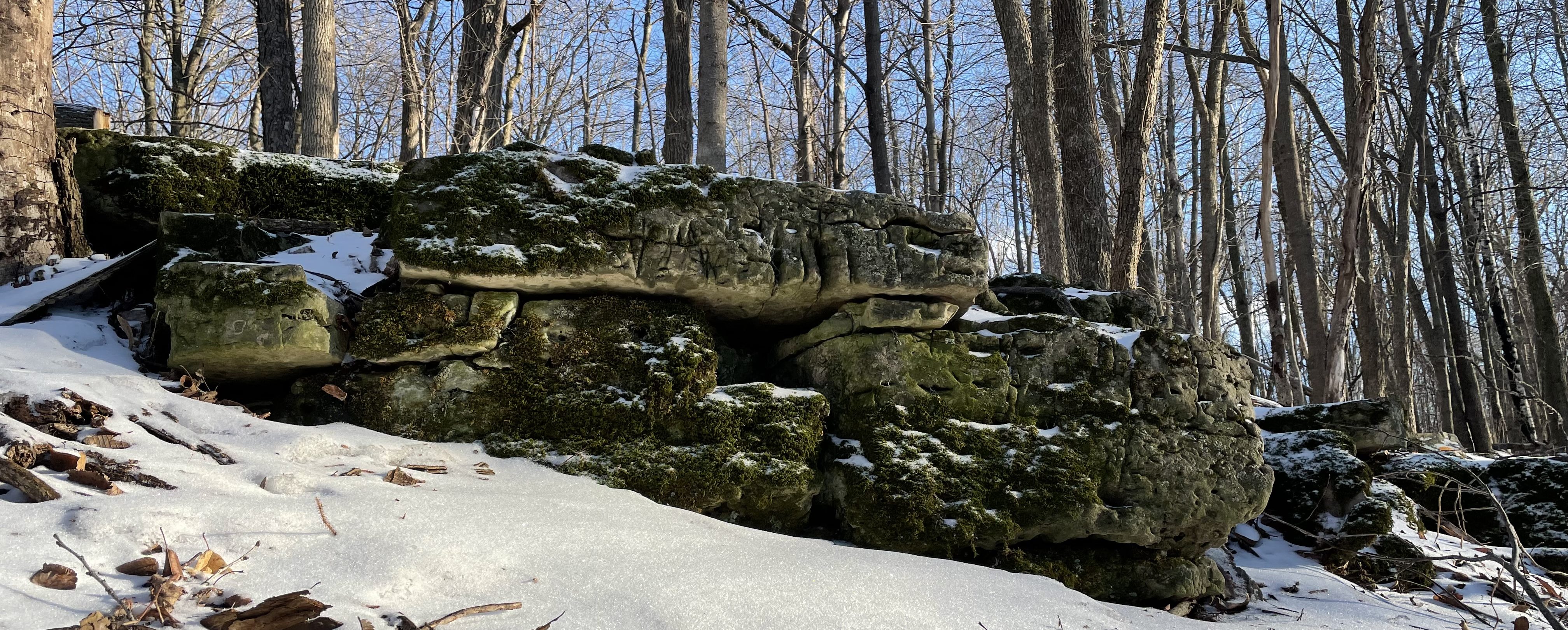
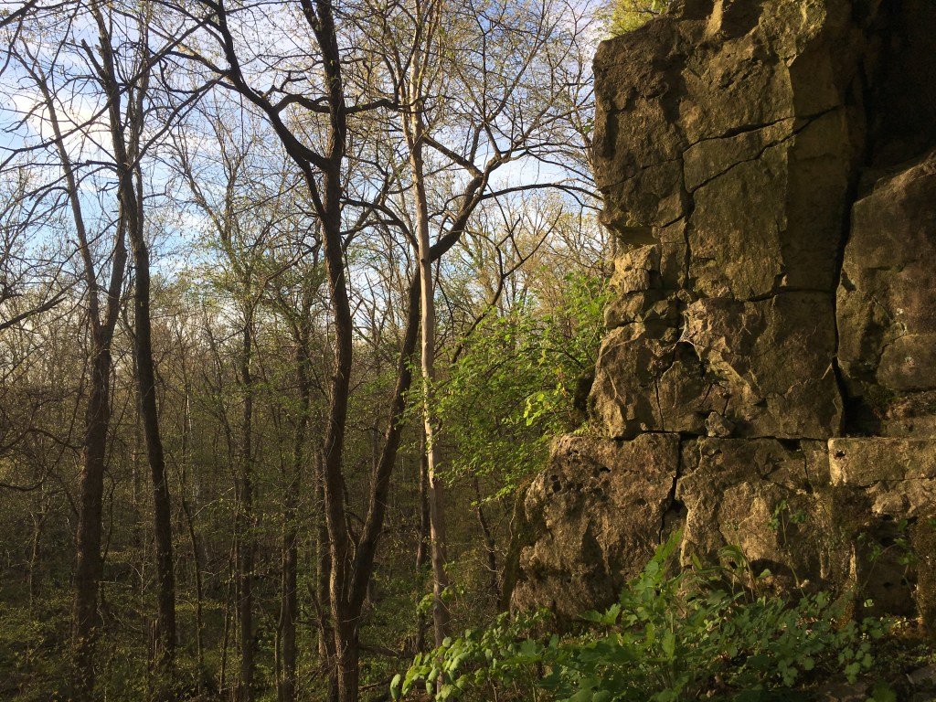
The scarp face is an approximately 30 ft to 40 ft high, steep soil/rock slope facing west/northwest. Rock outcrops are scattered along its length. The slope face is eroded with little vegetative cover in many areas, possibly due to soil instability and deer activity. Some areas of rock cliff exist with a maximum cliff face of ~15 ft. At the north end of the escarpment is an ~100 ft draw through which an intermittent stream flows.
There is over 100 feet of change in topography due to the presence of the Niagara Escarpment.
Elevations to the east of the escarpment range from approximately 920 ft mean sea level (msl) to 950 ft msl with depth to the dolomite bedrock generally less than an estimated 10 ft below land surface (bls).
Elevations to the west of, and below, the escarpment range from approximately 880 ft msl at the toe of the escarpment to an isolated low of 840 ft msl where the creek exits the property. Depth to bedrock in this area is approximately 20 ft bls to 50 ft bls.
The northernmost extent of the escarpment is a bedrock outcrop where an intermittent creek flows over bedrock. Geologic publications indicate the bedrock is mainly absent to the north of this outcrop due to pre-glacial erosion. This erosion formed a low-lying area that was later filled by the glaciers with sand and gravel resulting in a rolling field in the northern one third of the property (approximately 24 acres).
The depth of the sand and gravel in this area ranges from approximately 20 ft bls to 100 ft bls. Clayey glacial till was deposited over the entire area. The result is two landscapes each having different hydrologic conditions and ecological communities.
The Woods
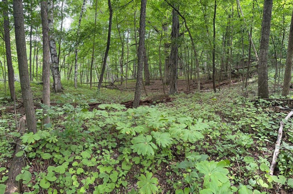
The woodlands on either side of the ledge consist of a diversity of tree species including oaks, hickory, aspen, basswood, cottonwood, ironwood, maple, birch, box elder, black locust, ash and elm. Both areas have large legacy trees with diameters greater than 20 inches.
The majority of these trees were open-grown oaks characteristic of oak openings. A few of these were shagbark hickory, ironwood (Ostrya virginiana), and sugar maple.
Much of the forest canopy is closed with a bushy understory of gooseberry, choke cherry, elderberry, young ash, and prickly ash.
Vegetation is scarce where oak leaf litter and prickly ash exist. In other areas there is a mix of forbs such as white snakeroot, lopseed, enchanter’s nightshade, Virginia waterleaf, stickseed, Canadian clearweed, jewelweed, avens, bedstraw, honewort, wild ginger, avens, beggar ticks, ramps, agrimony, etc.
Preliminary surveys of the entire 64 acres have identified over 140 flowering plant species, including many Spring ephemerals (abundant along the escarpment edge) and wetland plants in areas below the escarpment.
The Field
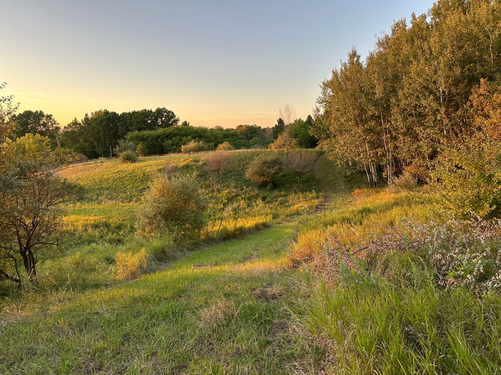
The field is mainly brome grass. Several areas were previously mined for sand and gravel, and much of the topography was altered by prospecting and mining. Smooth brome grass may have been historically planted for either grazing or for mining reclamation. Hawthorn, cottonwood, box elder, sumac, aspen and hickory have formed wooded areas in several locations within the field. Autumn olive, prickly ash, sumac, and bush honeysuckle are also present in areas.
Legacy Trees
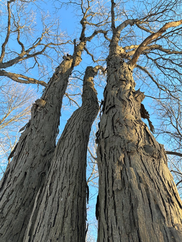
Based on an incomplete meander survey, approximately 83 legacy trees (estimated age greater than 125 years old) have been identified. Of these, 51 had estimated ages between 125 and 200 years.
The majority of these are oak with some hickory and ironwood. The larger oaks are generally present in groups along the escarpment.
Oaks less than 12 inches in diameter are lacking, greater than 12 inches are rare. These areas of oaks would benefit from prescribed burns by opening up the canopy and allowing regeneration.
Restoration of oak openings could be beneficial on the ledge top and a few areas west of the ledge.
Ecological Communities
The high area east of the escarpment is dryer than to the west. Wetland features in this area are absent except in the area of the dug pond where plant communities consist of sedge, willow, red osier dogwood, high bush cranberry, and jewelweed are present.
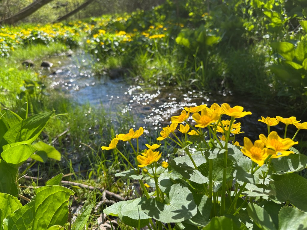
Ecological communities below the escarpment are characterized by more mesic woodlands, groundwater seeps, sedge meadow, wetland, creeks, ephemeral ponds and creek bottom.

